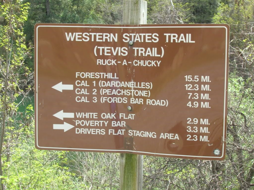
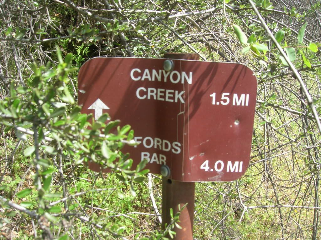
We started our hike along the Western States Trail just before 1:00pm from our campsite which was at the far south end of the campground. There is a billboard with all kinds of information about the river, wildlife and plantlife near the trailhead. Here is the first of the trail signs we came across
Within the first couple minutes of walking you come to an old bridge that has collapsed.
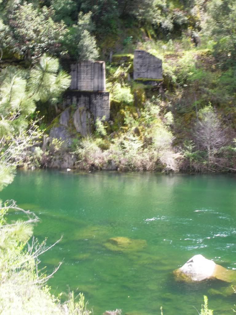
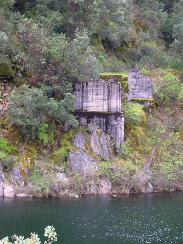
Also you can see the part of the bridge still under water. Very creepy!
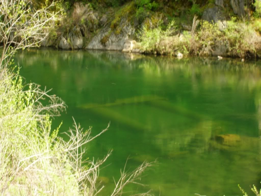
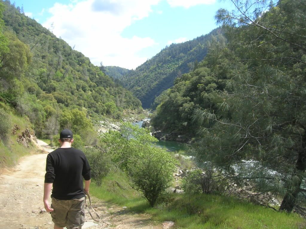
From here the trail rises gradually as you can see how much higher we are from these pictures
After about a mile of hiking we came to Paradise Canyon Falls. Well more of a number of small falls on one long cascade probaly around 200 feet total.
the pictures do not do it justice as there are too many trees/bushes in the way.
Full picture
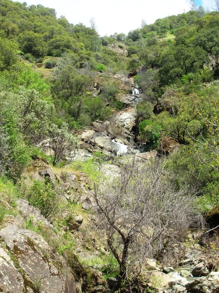
Individual falls after climbing a short way up.
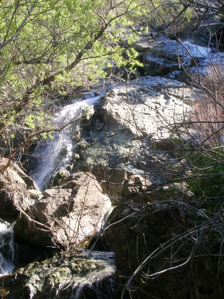
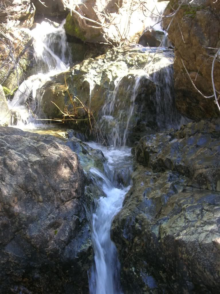
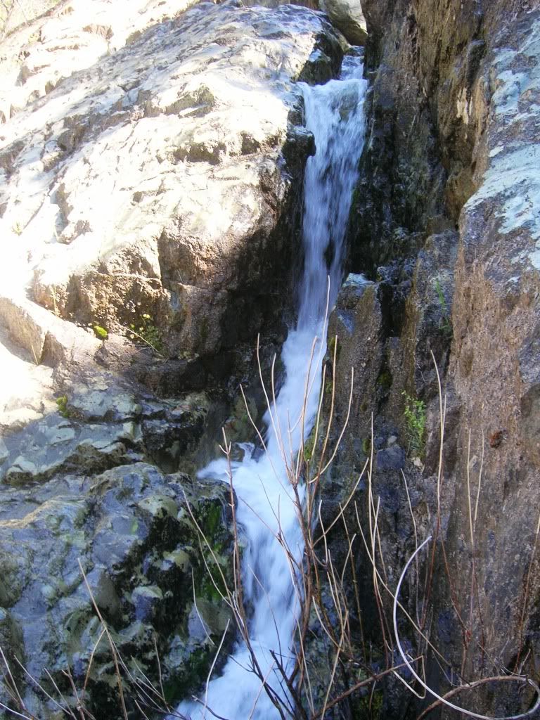
The falls right next to the trail
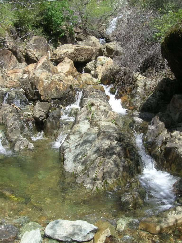
And the falls going to the river
videos of the falls from the middle
Video of the falls from the trail
It was about one mile walk to the falls and our next destination was the Ruck-a-Chucky rapids which is right before the Canyon Creek Confluence, 1.5 miles passed the falls.
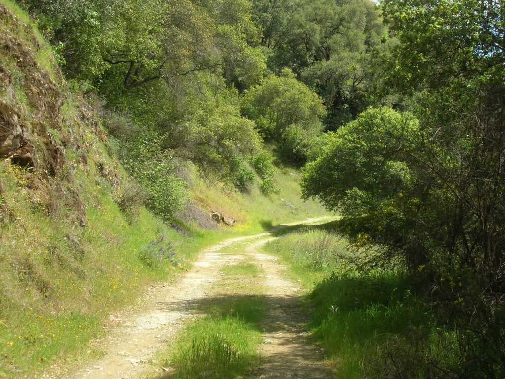
The trail was now steadily rising but was not too bad on the legs. The trail is an old jeep trail
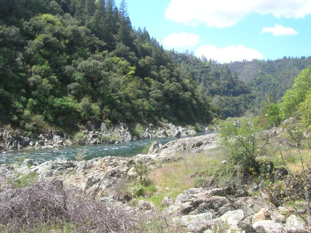
with river views and small rapids the entire way
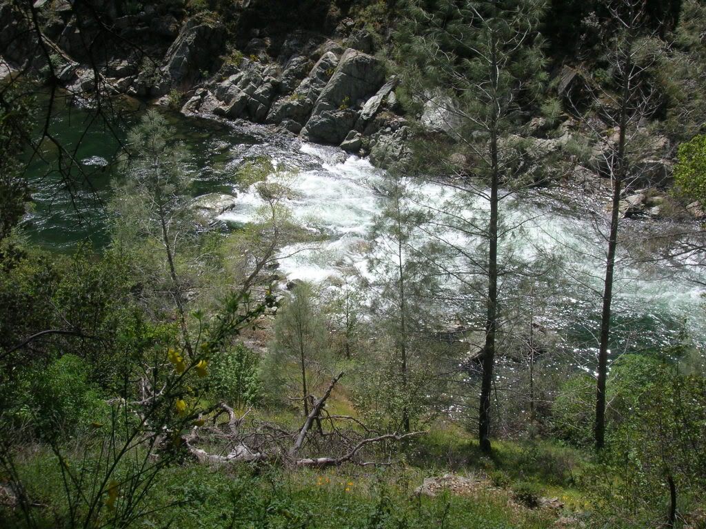
we finally reached the rapids and it was worth the hike. You are pretty high up above the river but can still hear how powerful they are!
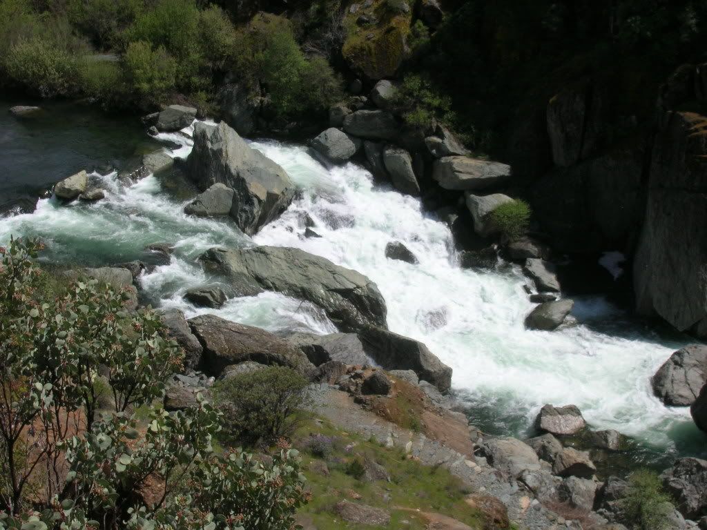
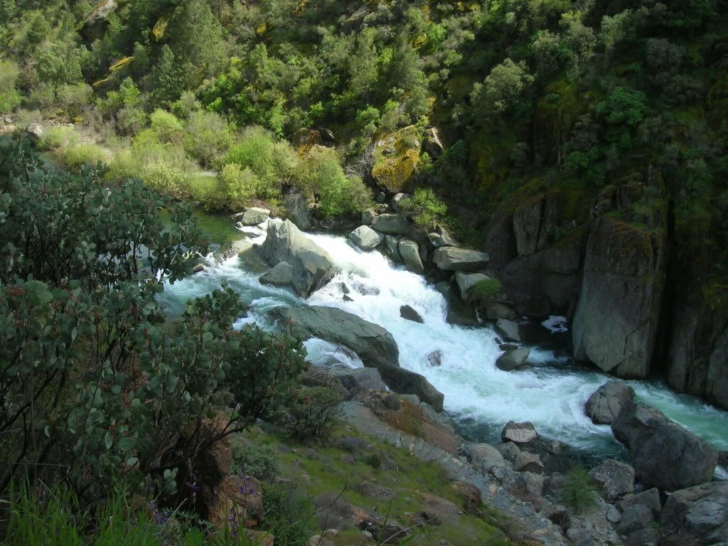
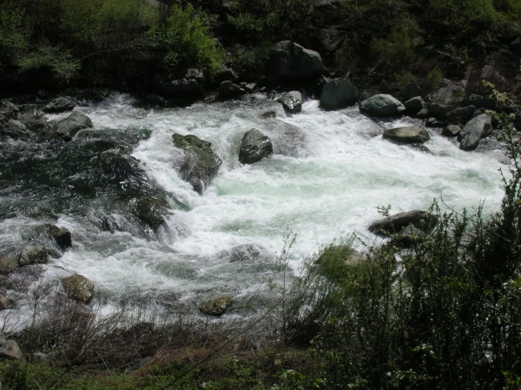
even Nala was enjoying the rapids
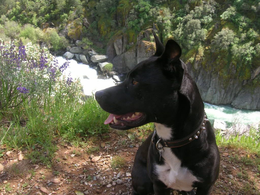
we did not get to the bottom but here is the easiest way down that I found
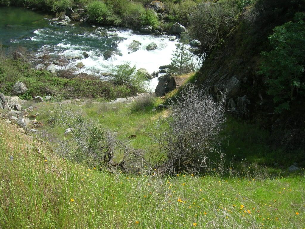
once we got to the falls this is where we watched them from. Very steep and had to watch our steps.
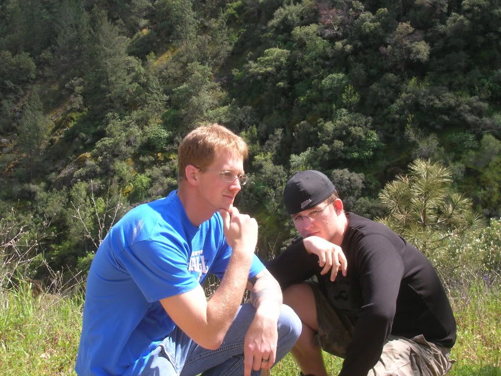
little did we know but the ASRA had put a nice little table for picnics just passed the rapids.
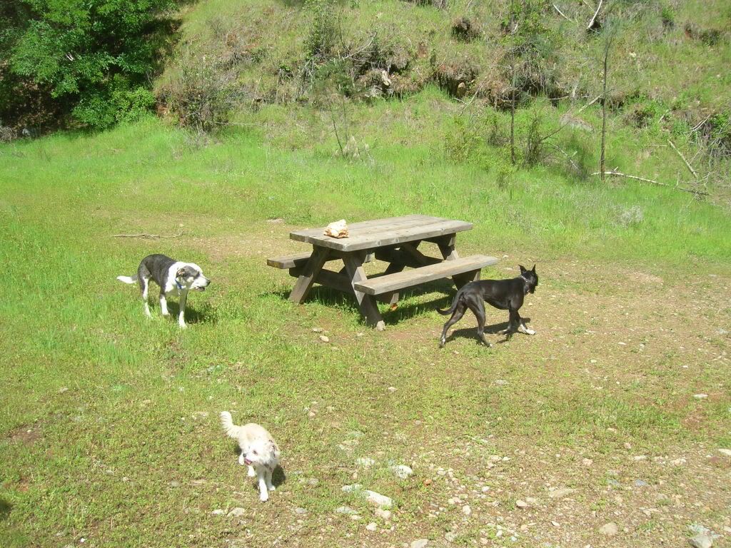
as we passed the rapids and the trail was descending the scenery became a lusher green

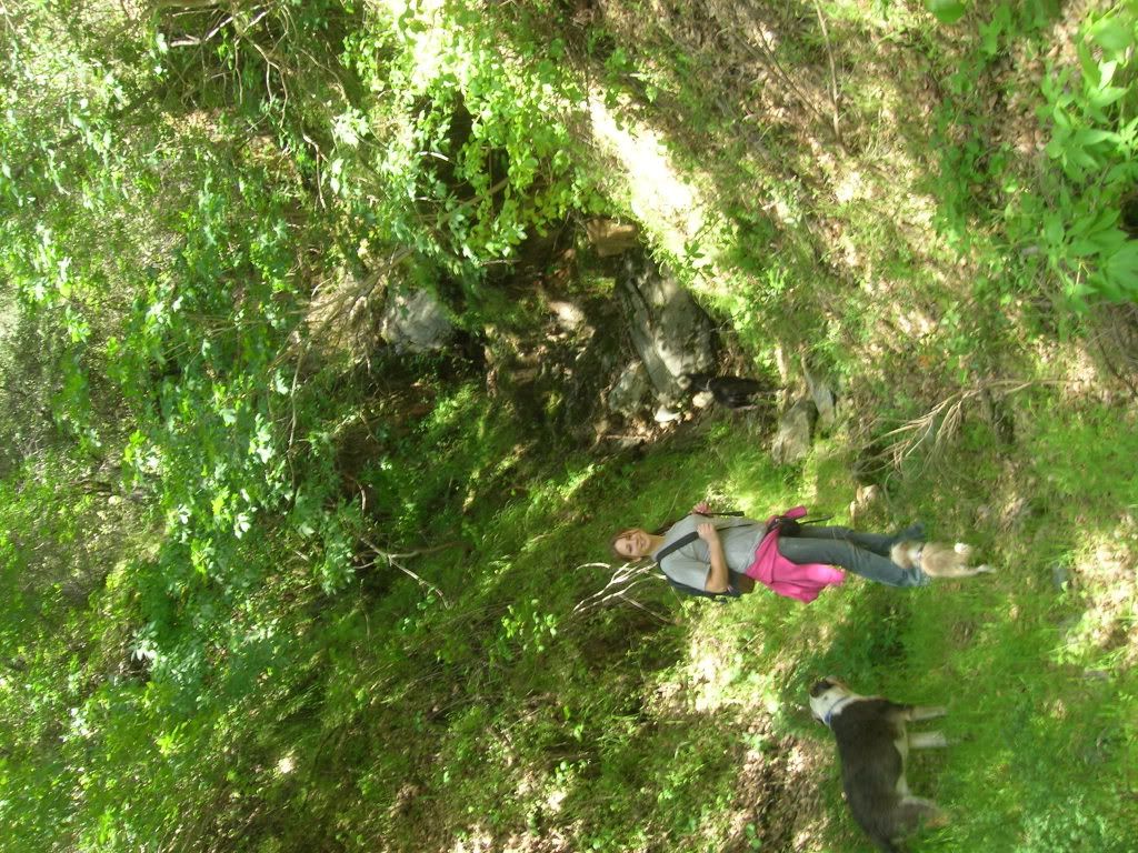
so we finally came to a fork and went right.
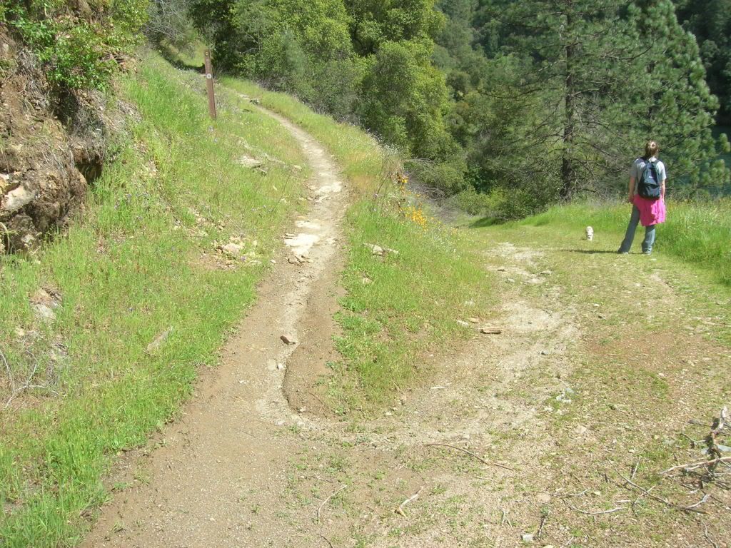
We found that this led us to the river and a nice sandy beach and the left continued along the Western States Trail.
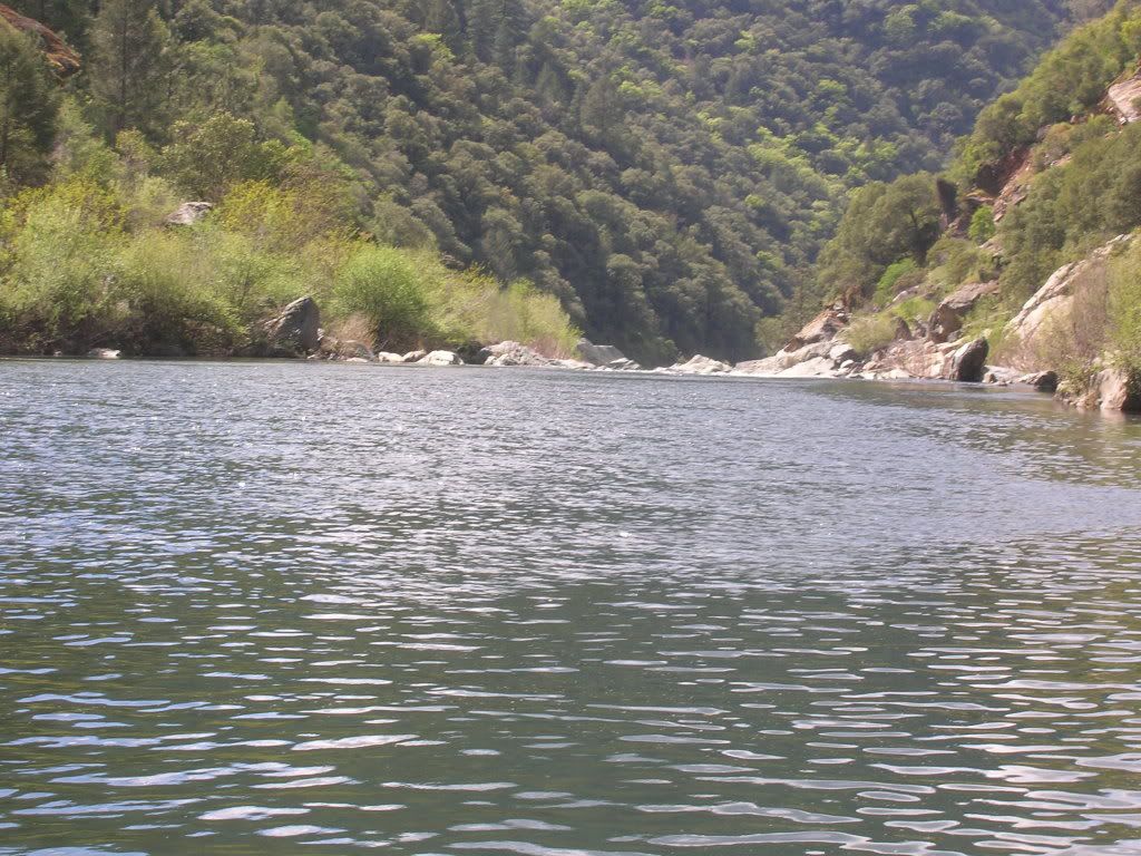
since it was getting warm we let the dogs play in water and nice sandy beach.
so after this we just headed back up to the trail
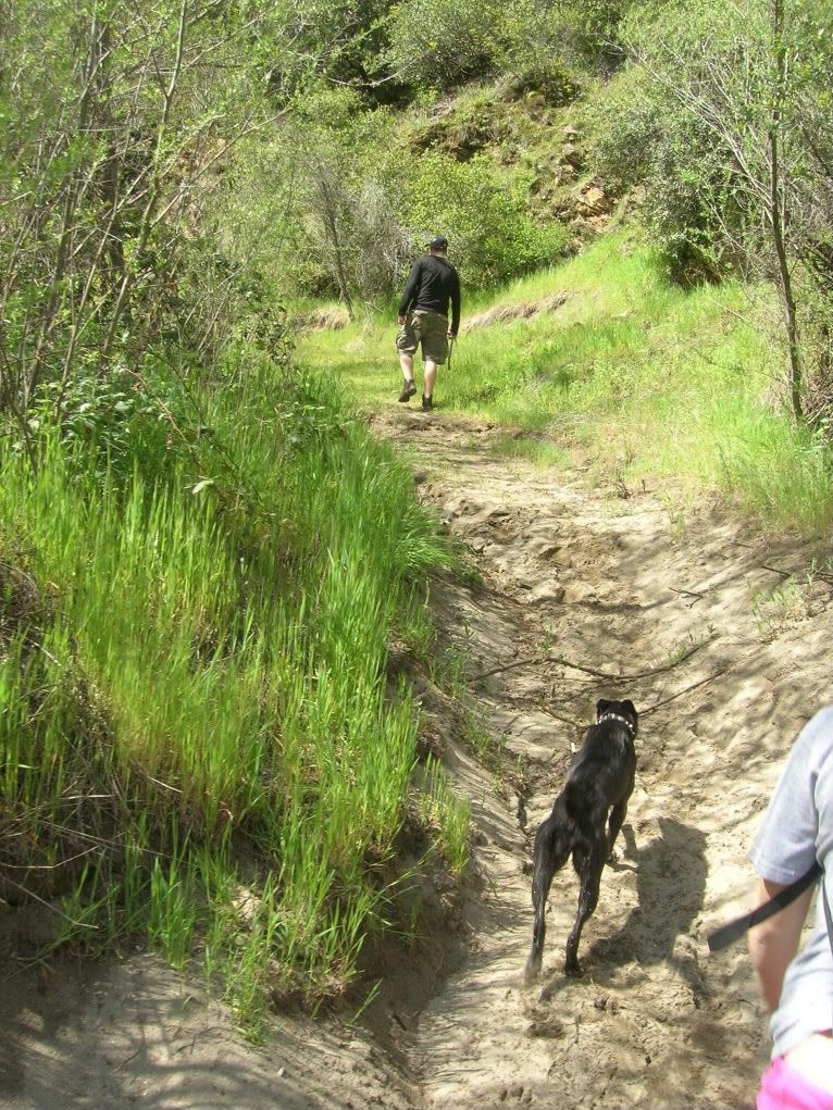
On the way back we let Lexi (Our 6lb dog) off her leash to see how she would do. Well she did great but the hawks circling her scared us a bit.
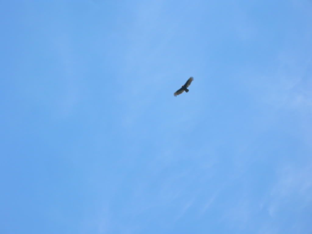
It was getting real close until Ashley yelled at when it was about 30 feet away and scared it and it went a little higher up. Then we noticed that two more came to check out a prospective meal.
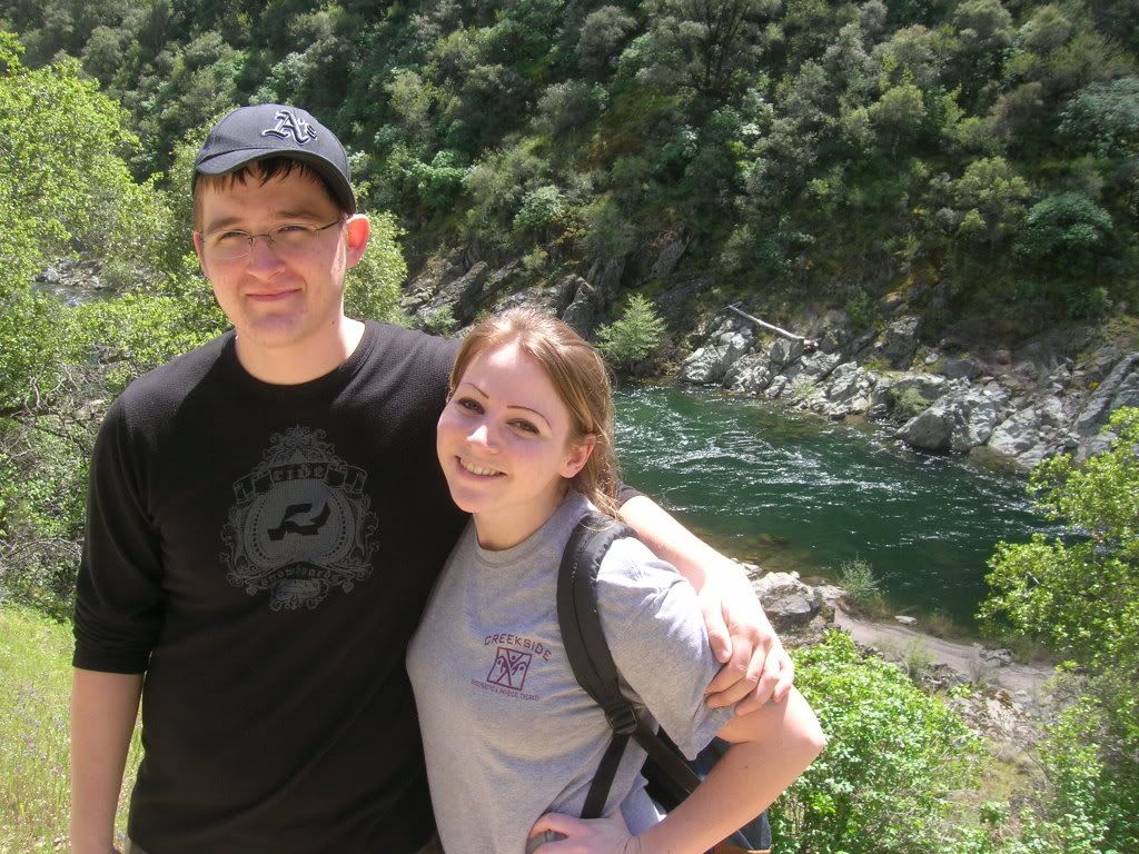
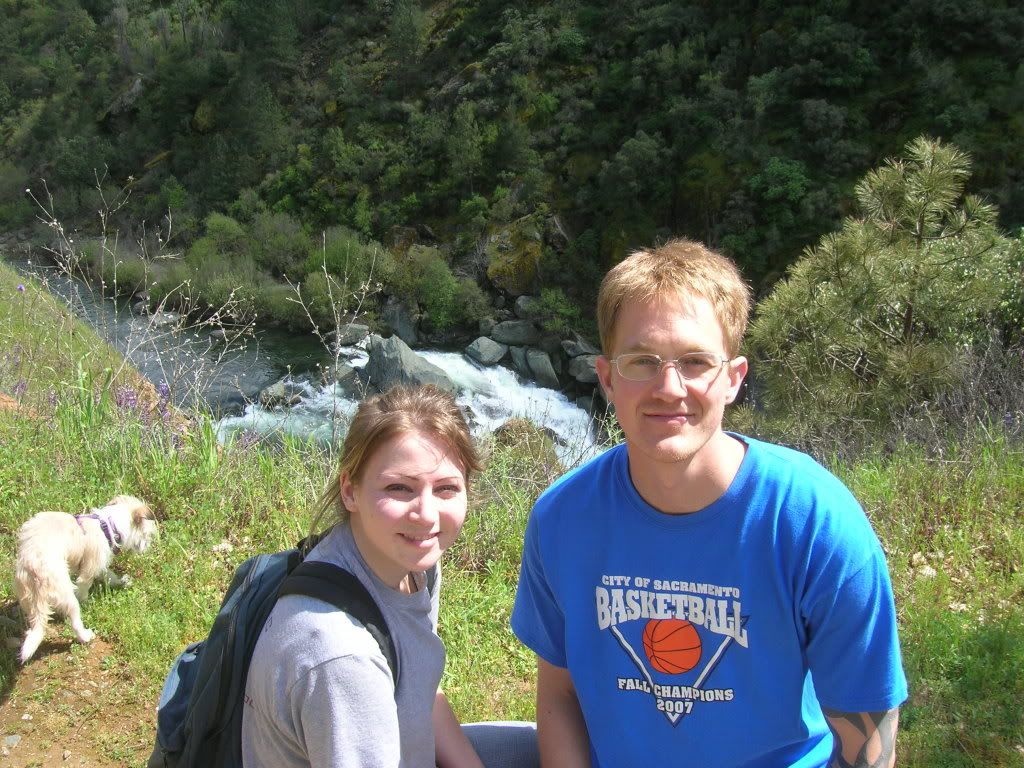
All in all it was a fantastic hike that was one of the prettiest and also easiest i have been on. Too bad that this is the last picture my camera took. Immediatly after i was handing off the camera to someone else and it slipped and fell into the water below directly behind where Cory and Ashley are sitting.
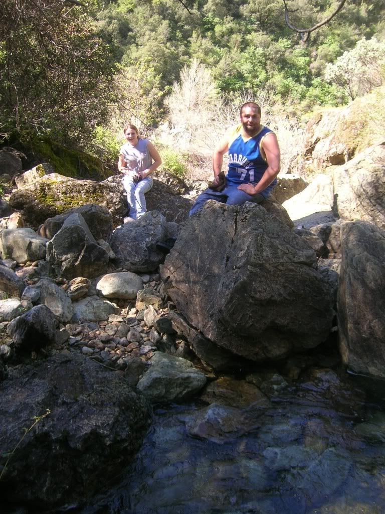
But at least I got my memory card out and also some really pretty pictures!
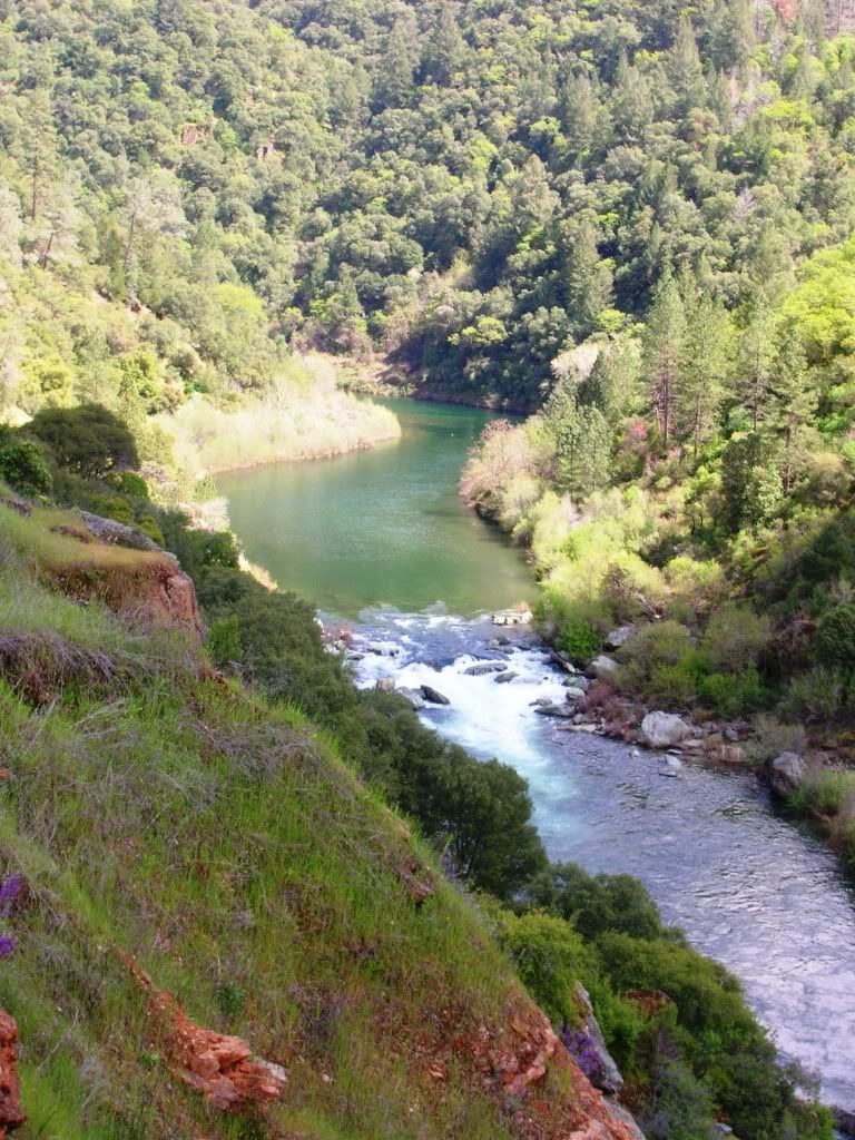
I am going back next weekend to continue past where we turned around to a nicer bigger beach and try to get up Canyon creek where i can see some waterfalls from satelitte pictures. Also I am going to try to get to the top of Paradise Falls and get down to the rapids. Wish me luck!
View Waterfall Hikes in a larger map
No comments:
Post a Comment